-40%
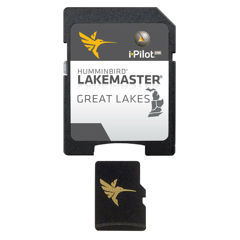
Humminbird® LakeMaster® GREAT LAKES - VERSION 4 microSD™ Fish Finder Map Card
$ 65.99
- Description
- Size Guide
Description
Humminbird® LakeMaster® GREAT LAKES - VERSION 4 microSD™ Fish Finder Map CardWe Ship for FREE!
For over 40 years
Humminbird®
has been an America’s favorite Fishfinder – the leading innovator of Side Imaging technology – providing recreational and professional anglers difference-making days on the water. Y
ou can be r
eady for your next trophy catch!
Boating is a great way to relieve stress and leave all your troubles on land. Enjoy your time out on the water even more with this top-notch marine product.
Whether you're practicing your casts, exploring the amazing marine life with a snorkel, or just cruising on the open water for fun, you need to equip your vessel
with the finest products to make sure nothing ruins your amazing recreational time.
Humminbird® LakeMaster® GREAT LAKES - VERSION 4
-
Other models are available; CHECK OUR STORE or just message us
Note: Opened packages will not be eligible for credit return.
Returned products must be complete in the original packaging and resalable. Special Order items may not be returned. Opened and/or unsealed DVDs, CDs, and cartography are not returnable
The Humminbird LakeMaster Great Lakes Edition, Version 4 micro map card has added over 140 new lakes, 50 High Definition waters to now boast contours for a total of over 1540 lakes with more than 380 lake maps in High Definition for Michigan, Indiana, and Ohio.
Great Lakes - Version 4
Features:
Updated shallow water areas for Lake Michigan and parts of Lake Superior
Full coverage of Lake Superior
All of Lake Huron (now including Georgian Bay)
Beaver Island on Lake Michigan in High Definition
New High Definition Survey of Lake St Clair (including the Canadian side)
Updated the St. Clair River High Definition survey (including the Canadian side)
Updated the Detroit River High Definition survey (including the Canadian side)
High Definition survey of Syracuse, Kosciusko in Indiana
High Definition survey of Wamplers, Lenawee in Michigan
High Definition survey of Portage/Torch, Houghton in Michigan
High Definition survey of Lower Grand and Spring Lake in Michigan
Also with the Ontario Version 1 microSD map card, you’ll enjoy all of the LakeMaster features including the following:
i-Pilot® Link™ compatible
Easy to read contours
Depth Highlight Range
Water Level Offset
Shallow Water Highlight
Scrollable Lake List
Note: Opened packages will not be eligible for credit return.
Returned products must be complete in the original packaging and resalable. Special Order items may not be returned. Opened and/or unsealed DVDs, CDs, and cartography are not returnable
Other models are available; CHECK OUR STORE or just message us
Don't forget to check our store because there is even more
!
https://www.ebay.com/str/theemarkett
I
f you are in AK, HI, or US Protectorates, there will be an additional shipping surcharge needed.
A representative will contact you and we can not ship until we receive invoice payment with the proper shipping cost. Thank you.
Stock Availability: At the time of listing this product, there is more than one of this item in stock. If demand exceeds our supply we will give the buyer the option of:
Have the item backordered and shipped when it becomes available.
Full refund if the above option is not available.


